China Objects to India’s Ladakh Place Names as Border Diplomacy Faces New Strain
Ministry of Foreign Affairs of the People’s Republic of China
government
Foreign Ministry Spokesperson Mao Ning’s Regular Press Conference on October 13, 2026
Hindustan Times
news
Never recognised UT of Ladakh, says China on India’s tit-for-tat naming drive
ThePrint
news
India dismisses China’s claim on Ladakh, defends naming of 28 geographical features in Union Territory
Untracked bias
Bias and factuality ratings from Media Bias Fact Check. Outlets without a rating are marked “Untracked.”
Beijing Objects
China said it firmly opposes India’s standardized names for 28 places in Ladakh and does not recognize the union territory.
Border Context
Some named locations are linked to eastern Ladakh friction points such as Gogra and Hot Springs.
Diplomatic Test
The dispute has reintroduced sovereignty friction despite recent Modi-Xi engagement and efforts to stabilize ties.
China’s Foreign Ministry said on October 13 that it “firmly opposes” India’s newly publicized standardized names for 28 places in Ladakh, saying Beijing has never recognized the Indian Union Territory and calling the move “illegal and void.”1 The statement returned a sovereignty dispute to the center of China-India diplomacy as the two governments try to steady relations after years of tension along the Line of Actual Control.
The immediate dispute concerns names and maps, not troop movements. But for Asia-Pacific policymakers, it is a reminder that symbolic acts can carry strategic weight along an unsettled frontier. India’s naming exercise, publicized after consultation with Ladakh’s local administration, comes after China’s own past efforts to assign standardized names to places in Arunachal Pradesh, a territory India administers and China claims as part of “South Tibet.”2 Indian outlets framed the Ladakh move as a reciprocal cartographic signal, while Beijing said it cannot alter China’s claims in the western sector of the boundary.24
India rejected China’s objection and reiterated that Ladakh is an integral part of India, according to reports citing the Ministry of External Affairs.46 The Indian response, as reported by The Indian Express and other outlets, said no Chinese denial could change India’s position on Ladakh’s status.47 The exchange is the latest instance of both governments using administrative language, official maps and place names to reinforce territorial narratives in disputed border areas.
At the October 13 briefing, Foreign Ministry spokesperson Mao Ning was asked about reports that India’s Home Ministry had identified and marked standardized names for 28 places on an official map after consulting Ladakh’s local government.1 Mao replied that China had “never recognized” what she called the “so-called Union Territory of Ladakh” and opposed the names publicized by India.1
The response was brief but pointed. Beijing linked its objection not only to the names, but also to India’s 2019 reorganization of Jammu and Kashmir, under which Ladakh became a separate union territory. China objected to that change at the time, especially because Ladakh includes areas near the disputed western-sector boundary.
India’s reported naming exercise covered locations in Ladakh, including sensitive areas such as Gogra and Hot Springs, which have been associated with past friction along the Line of Actual Control in eastern Ladakh.57 That context explains why an administrative mapping decision drew foreign-ministry-level attention in Beijing.
Available reporting does not indicate an immediate operational military shift tied to the naming announcement. The significance lies in political signaling: each side is using official nomenclature to restate claims, shape public narratives and resist the other’s administrative framing of disputed geography.8
The dispute lands at a delicate moment. India and China have spent years managing the fallout from the 2020 Line of Actual Control crisis in eastern Ladakh, when a deadly clash in the Galwan Valley pushed bilateral relations to their lowest point in decades. Subsequent military and diplomatic talks produced disengagement at several friction points, but the boundary question remains unresolved.37
Recent engagement between Prime Minister Narendra Modi and President Xi Jinping had suggested a cautious effort to normalize ties. Reports noted that both sides had taken steps to restore confidence, including diplomatic contacts and measures aimed at stabilizing the border environment.35 That does not mean the underlying sovereignty dispute has softened. The October 13 exchange shows how quickly a map-related issue can disrupt the narrative of rapprochement.
For New Delhi, naming locations in Ladakh can be read as a statement that Indian administrative authority extends across the union territory despite Chinese objections. For Beijing, rejecting the names reinforces its refusal to accept India’s post-2019 administrative arrangement and its broader claims in the western sector.16
That is why the episode matters even if it remains rhetorical. India-China stabilization has depended on separating practical crisis management from irreconcilable sovereignty positions. Naming disputes collapse that separation by forcing both governments to restate maximal claims in public.
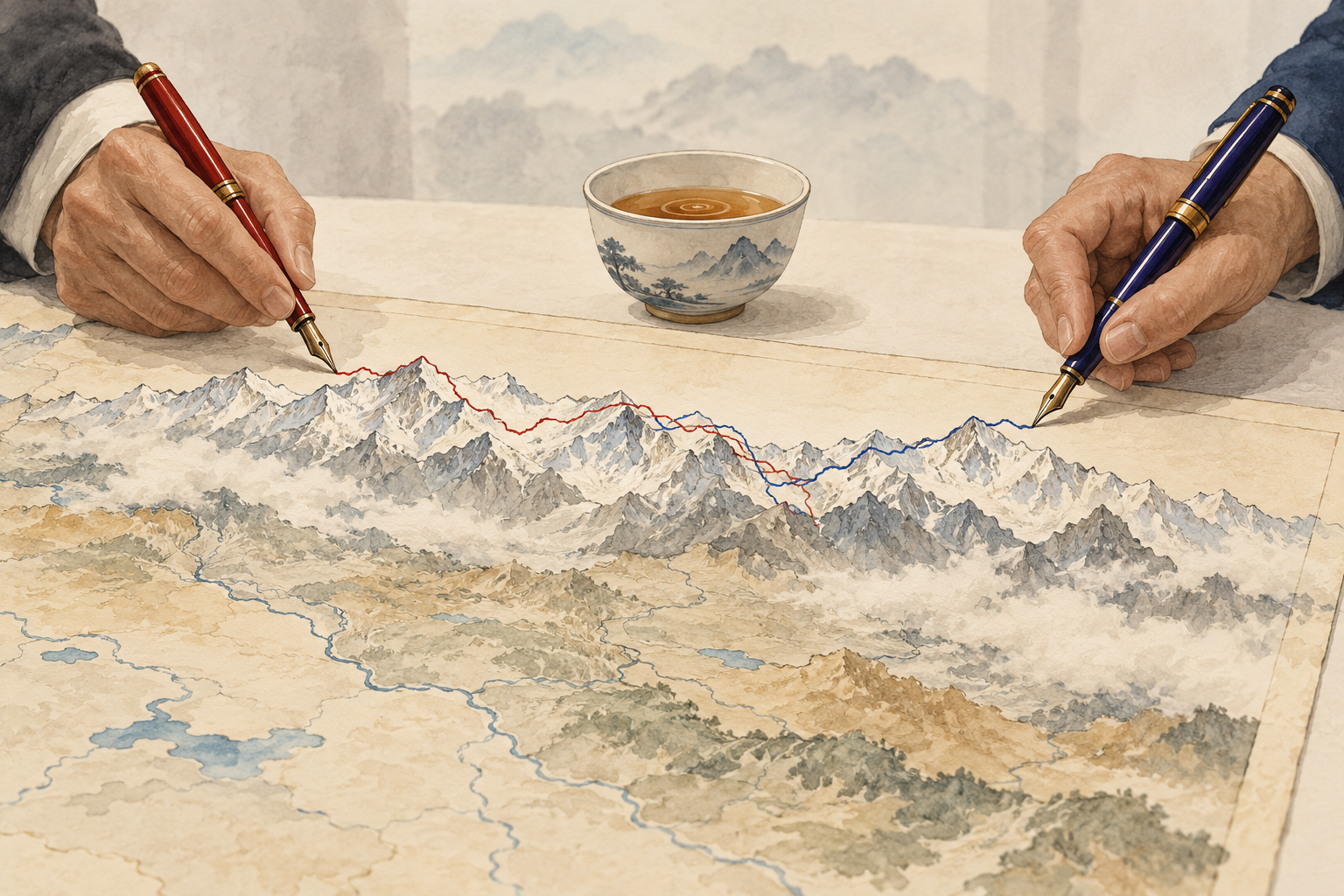
Place names are not neutral in territorial disputes. They appear on official maps, in government gazetteers, in educational materials and in diplomatic statements. Over time, they can help normalize a state’s preferred version of geography. That is why both China and India treat naming exercises as political acts, not just linguistic updates.
China has repeatedly issued standardized names for places in Arunachal Pradesh, drawing Indian objections. India has dismissed those Chinese naming exercises as having no effect on the state’s status as part of India.24 The Ladakh exercise reverses the direction of the complaint: this time China objected to India’s naming of places in a territory Beijing does not recognize as a valid Indian union territory.1
The cartographic contest is reciprocal. Each side portrays its own naming as administrative normalization and the other’s as illegitimate political messaging. That dynamic can harden public positions even when officials are trying to manage tensions through talks.
Khabarhub’s analysis described India’s Ladakh naming exercise as a cartographic counter to Chinese territorial claims, a useful frame for understanding the dispute’s political logic.8 The names themselves may not change facts on the ground, but they help define how each government wants domestic and international audiences to understand the terrain.
The deeper issue is the unresolved western-sector boundary. China’s October 13 statement tied its rejection of India’s names to its position that the western sector of the China-India boundary belongs to China.1 Indian reporting, meanwhile, emphasized that the western-sector dispute remains unresolved despite disengagement steps after the 2020 crisis.7
The Line of Actual Control is not a mutually agreed international boundary. It is a de facto line separating areas controlled by the two sides, and perceptions of its exact alignment differ in several places. Those differing perceptions have produced patrol confrontations and periodic crises. Naming locations near or within contested areas can therefore be read through a security lens, even when the instrument is administrative.
That makes careful interpretation important. A naming dispute is not the same as a military mobilization. But it can increase diplomatic friction, narrow political room for compromise and complicate confidence-building if either side sees the other’s cartographic actions as an attempt to consolidate claims.
The latest exchange is best understood as a stress test for recent Modi-Xi engagement, not as evidence that stabilization has failed. Both governments still have incentives to prevent a repeat of the 2020 crisis: India and China remain major trading partners, both face broader strategic pressures, and neither benefits from uncontrolled escalation along a high-altitude frontier.
Yet the episode shows the limits of diplomatic thawing when sovereignty disputes remain unresolved. Public gestures over maps and names can return old grievances to the bilateral agenda, forcing leaders and foreign ministries to defend entrenched positions.
For policymakers watching the Asia-Pacific, the lesson is that China-India tensions may not return only through patrol clashes or military deployments. They can also reappear through gazetteers, maps, administrative notifications and press-briefing language. In a relationship still recovering from a border crisis, symbolic geography remains a live arena of competition.

India hosted the first BIMSTEC Home Ministers’ Meeting in New Delhi on October 13, securing a Delhi Declaration that puts terrorism, organized crime, narcotics, trafficking, money laundering and cybercrime at the center of regional cooperation. The new track gives New Delhi a practical forum linking South and Southeast Asia while avoiding the India-Pakistan deadlock that has constrained SAARC.

Senior cyber officials from Japan, Australia, India and the United States met in Singapore on October 13, reaffirming cooperation on regional cyber resilience, capacity-building and deterrence under the updated Free and Open Indo-Pacific framework. The meeting points to the Quad’s growing use of bureaucratic coordination to advance non-military security priorities in the Indo-Pacific.

British Prime Minister Andy Burnham said a suspected plot against the U.S.-run RAF Fairford air base was highly likely coordinated in Iran and almost certainly directed by the IRGC. The case has sharpened European concern that the Middle East war is spilling into domestic security and counterintelligence, especially around bases used by U.S. bombers.

UN agencies said Israeli authorities suspended cargo entry into Gaza on Monday and announced another suspension for Wednesday, adding uncertainty to an aid system already constrained by closed crossings, damaged shelter and winter needs.
Line of Actual Control
The de facto boundary separating Indian- and Chinese-controlled areas; its exact alignment is disputed in several sectors.
Union Territory of Ladakh
A federally administered Indian territory created in 2019 after the reorganization of Jammu and Kashmir; China says it does not recognize it.
Western sector
The part of the China-India boundary dispute that includes Ladakh and areas near Aksai Chin.
Standardized place names
Official geographic names used in maps and government records; in disputed areas, they can become tools of sovereignty signaling.
Comments